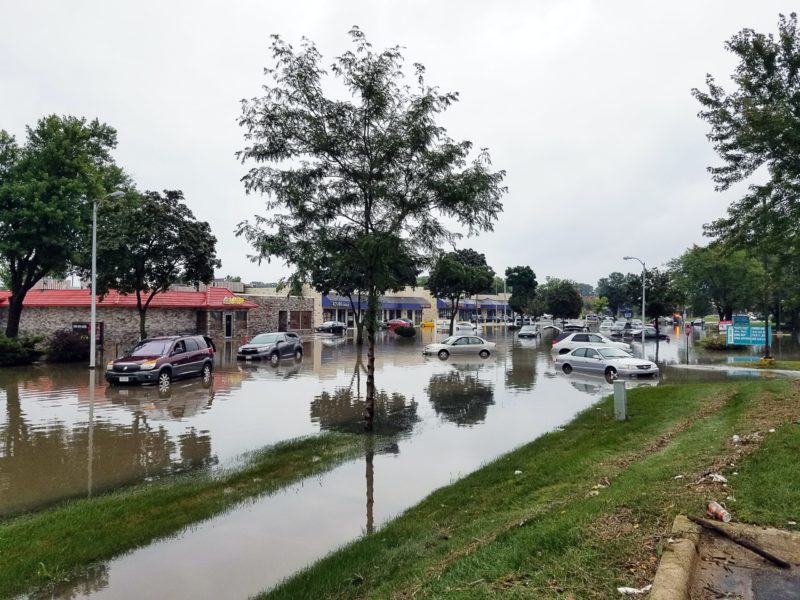
While institutional real estate investors and insurers have been able to privately purchase flood risk information from for-profit companies, the majority of Americans have relied on Federal Emergency Management Agency (FEMA) maps to understand their risk. However, FEMA maps were not created to define risk for individual properties. This leaves millions of households and property owners unaware of their true risk.
First Street Foundation has built a team of leading modelers, researchers, and data scientists to develop the first comprehensive, publicly available flood risk model in the United States. By democratizing this peer-reviewed flood risk data, First Street Foundation is correcting an asymmetry of information in the United States, empowering Americans to protect their most valuable assets–their homes–from flooding.
Using cutting edge modeling techniques, the Foundation’s team has calculated and made public the past, present, and future flood risk of every home and property in the contiguous United States. People can freely access the property-specific information of 142 million private and public properties at FloodFactor.com, where every property is now accompanied by a Flood Factor™, a risk score ranging from 1 to 10. This number reflects a property’s risk of flooding over the course of a 30-year mortgage.
Roughly 100 of the world’s top academic researchers from 20 of the country’s leading universities, including Harvard, Wharton, Johns Hopkins, and MIT, have partnered with the First Street Foundation Flood Lab to analyze the data.
The First Street Foundation Flood Model recreates past storms to calculate the likely flooding history of homes across the country, information that until now has been difficult or impossible to find. The Model also calculates the probabilistic risk of fluvial, pluvial, storm surge, and tidal flooding. Additionally, it calculates the probabilistic future risk of flooding by incorporating anticipated environmental changes.
While FEMA classifies 8.7 million properties as having substantial risk, or within Special Flood Hazard Areas (SFHAs), the First Street Foundation Flood Model identifies nearly 70% more, or 14.6 million properties with the same level of risk. This means nearly 6 million households and property owners have underestimated or been unaware of their current risk. This discrepancy exists because the Foundation uses current climate data, maps precipitation as a stand-alone risk, and includes areas that FEMA has not mapped.
For more information for your area click here.


